Please check out our BLOG where we share stories, photos and videos of our van builds.
Death Valley National Park https://goo.gl/maps/yiw4AUKXkfeZzdBz6 (Sand Dunes)
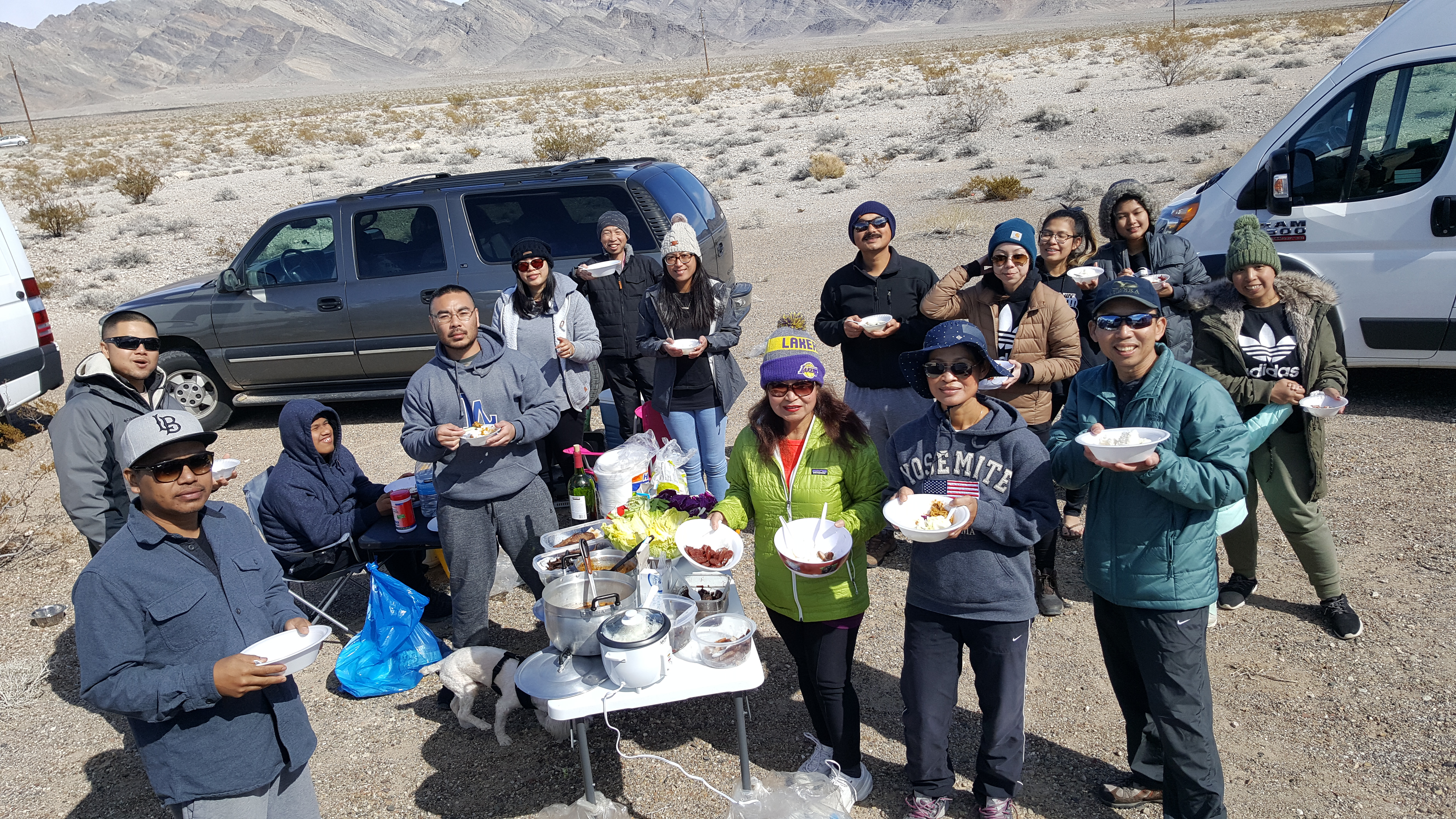
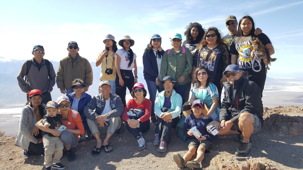
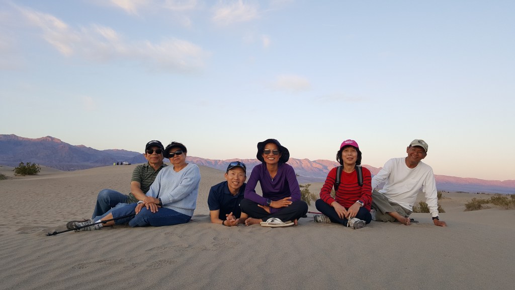


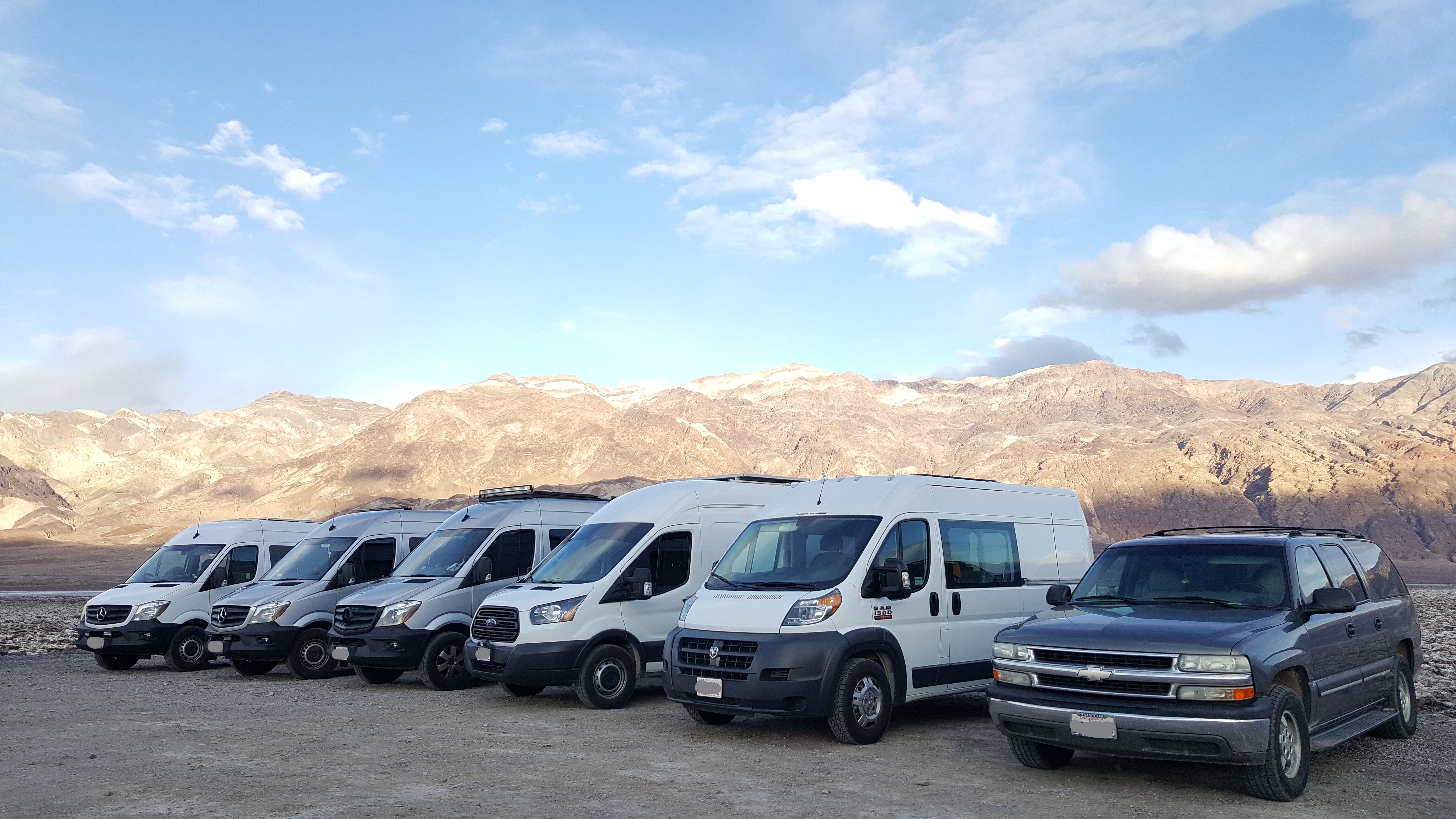
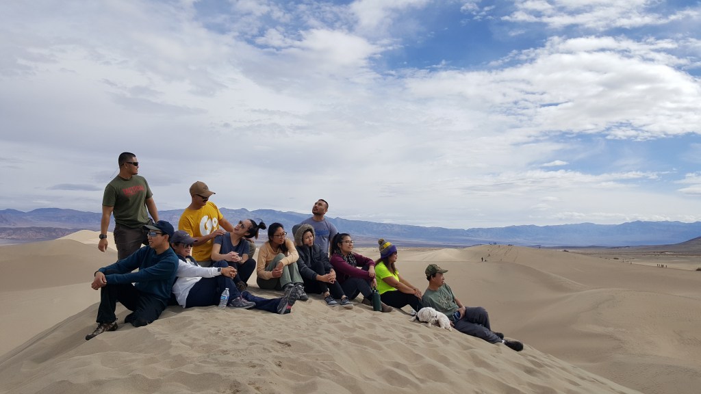
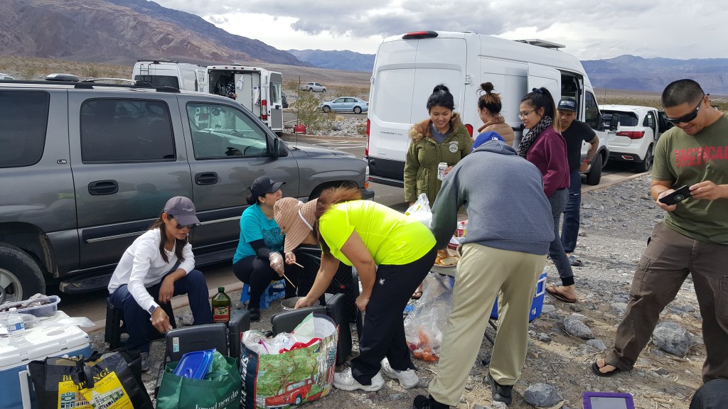
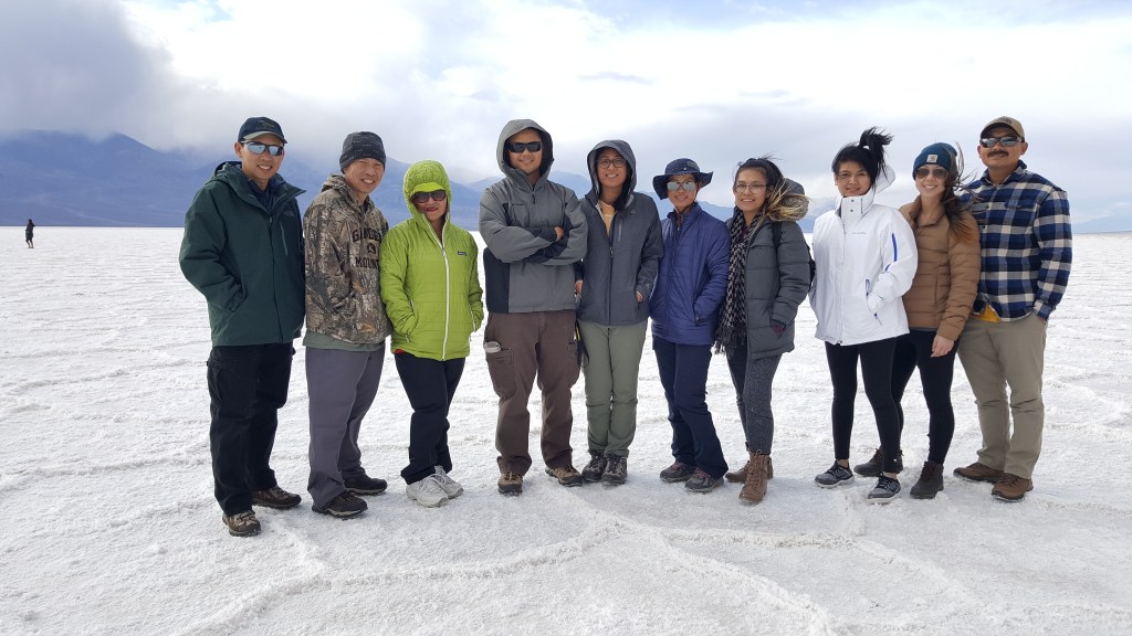
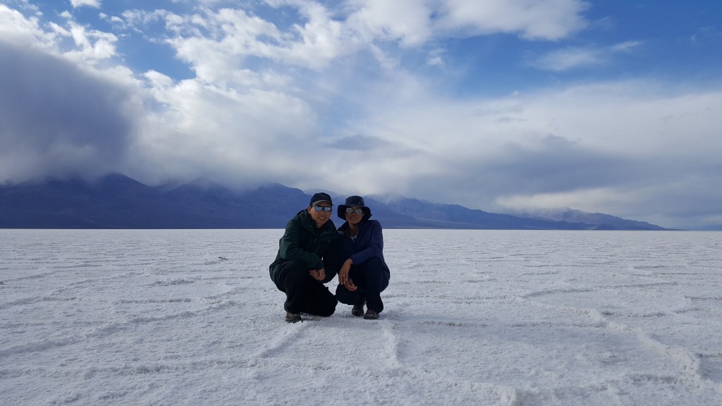

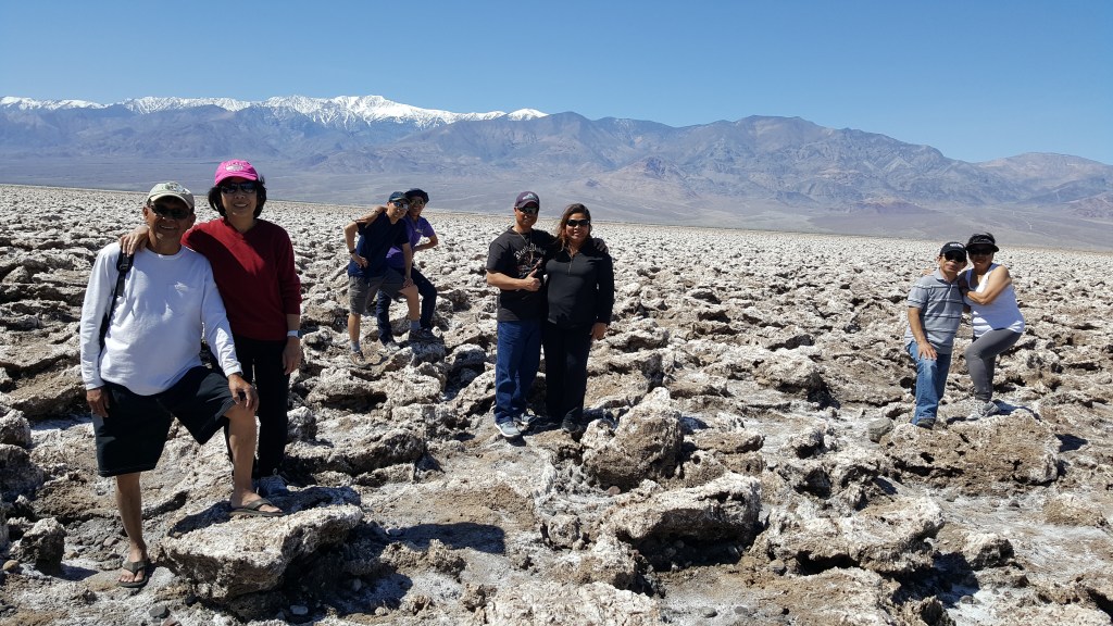

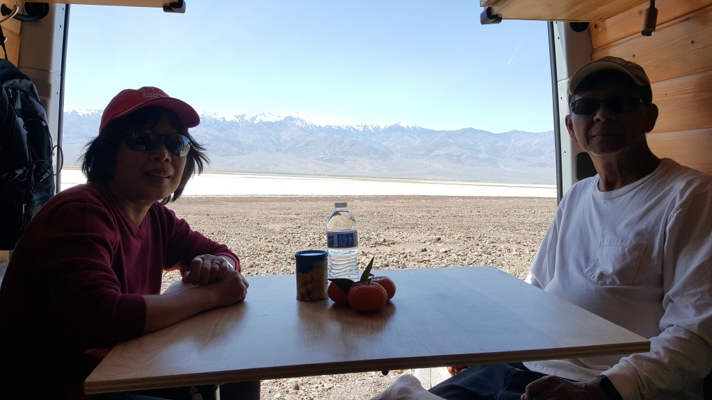
So much fun and so much food here. It was in February and early March the weather was perfect. We recommend to go here between late January to mid April or Oct-Nov months. We stayed at StovePipe campground which is only a mile from the Mesquite Flat Sand Dunes. Campground has restrooms and RV water, dump station and drinking water. Fee is $22/night per site fits two cars.
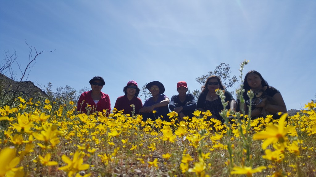
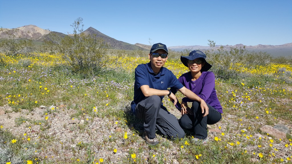
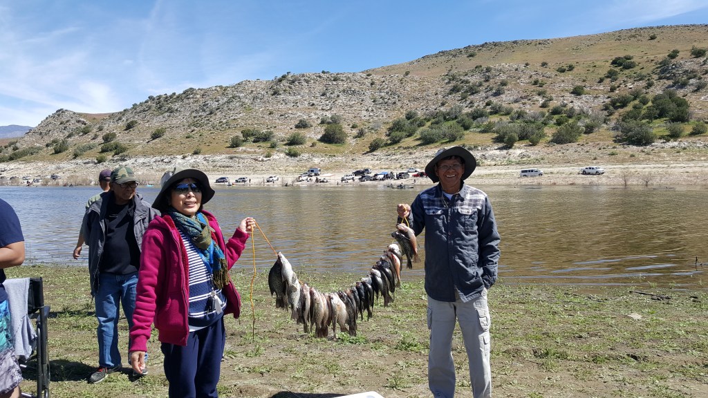
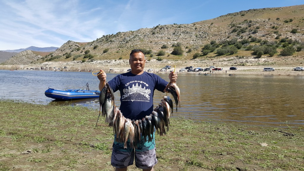
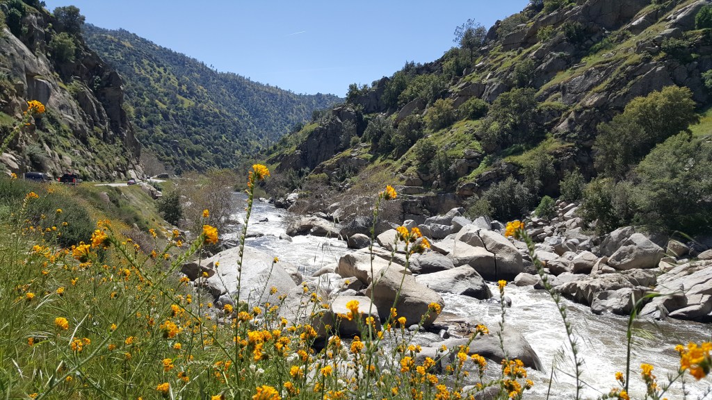
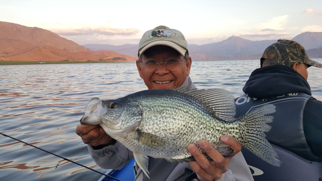
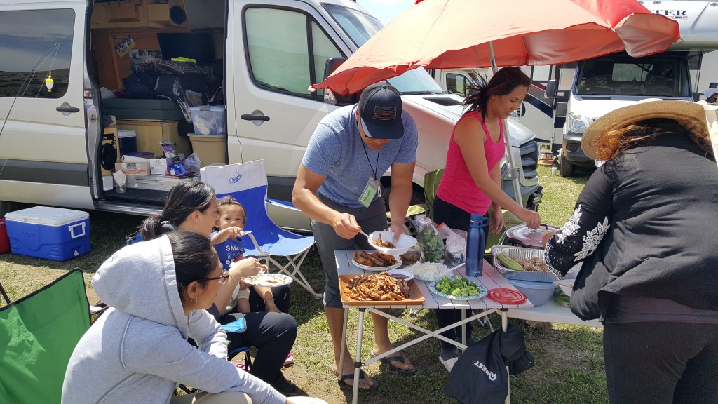
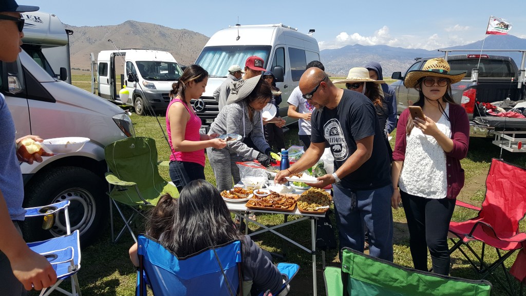
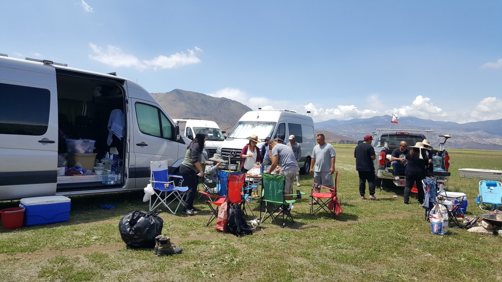
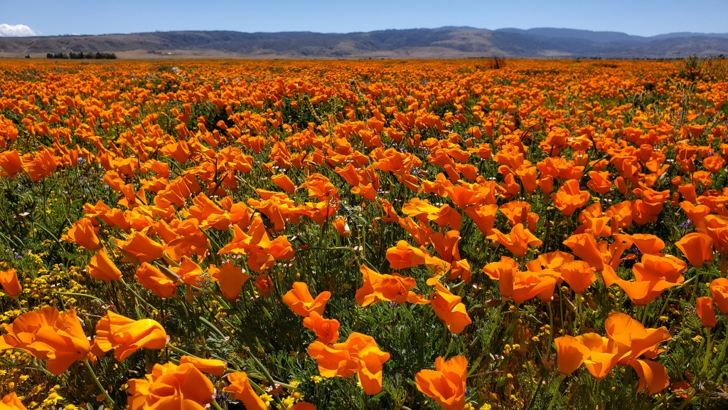
Lake Isabella, Kern County, CA https://maps.app.goo.gl/KLnfv2z9swLbtEHH6 (Kissack Bay)
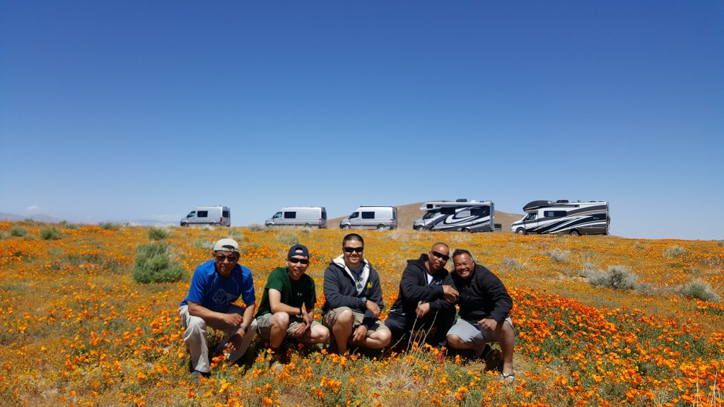
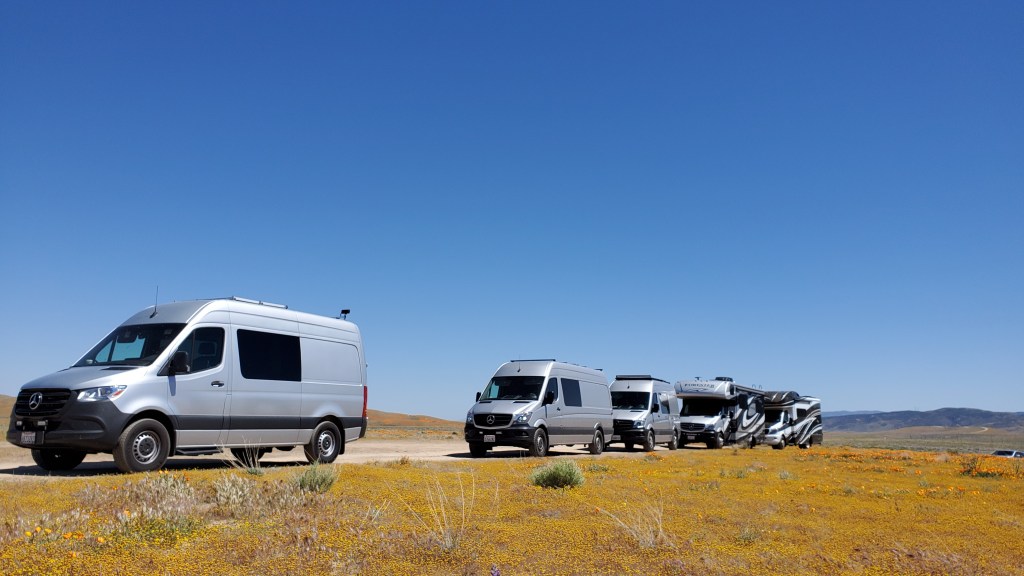
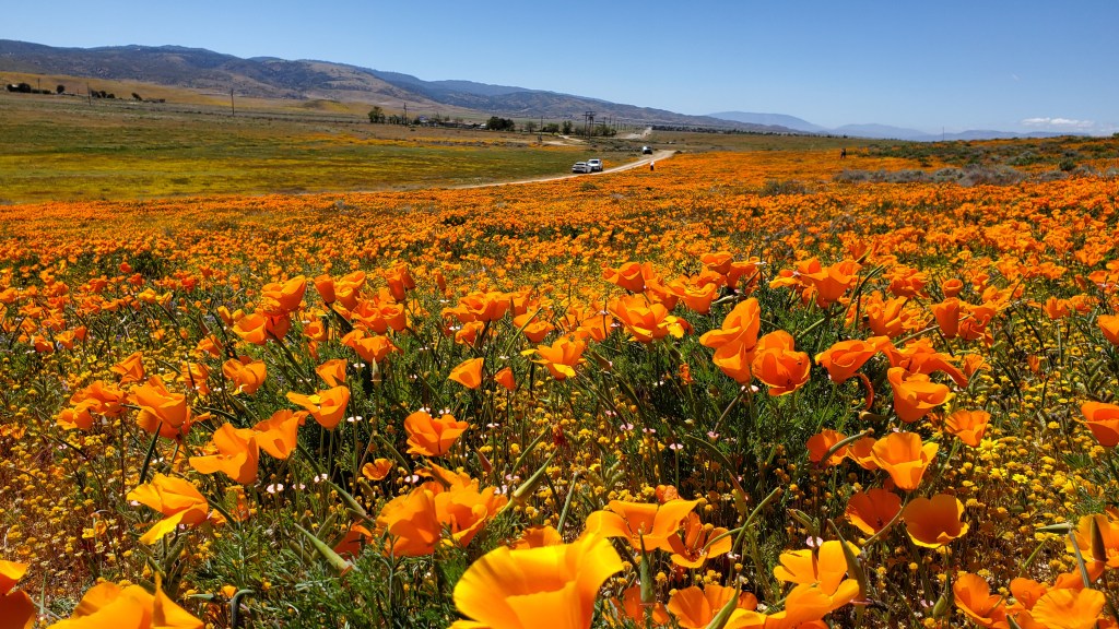
Great Crappie fishing here in the Spring. You can park close to the water in some area but away from the developed camp site so there’s no facility, pack in-pack out on your own. Good idea for a big group camping. On the other side of the lake Kern River flows in to the lake at the town of Woolford Height where you can enjoy the White Water rafting. On our way back we dropped by the flower fields “California Poppy Reserve”.
Kisak Bay 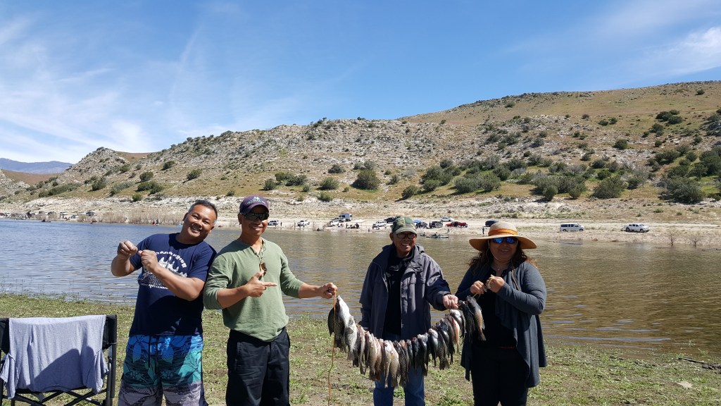


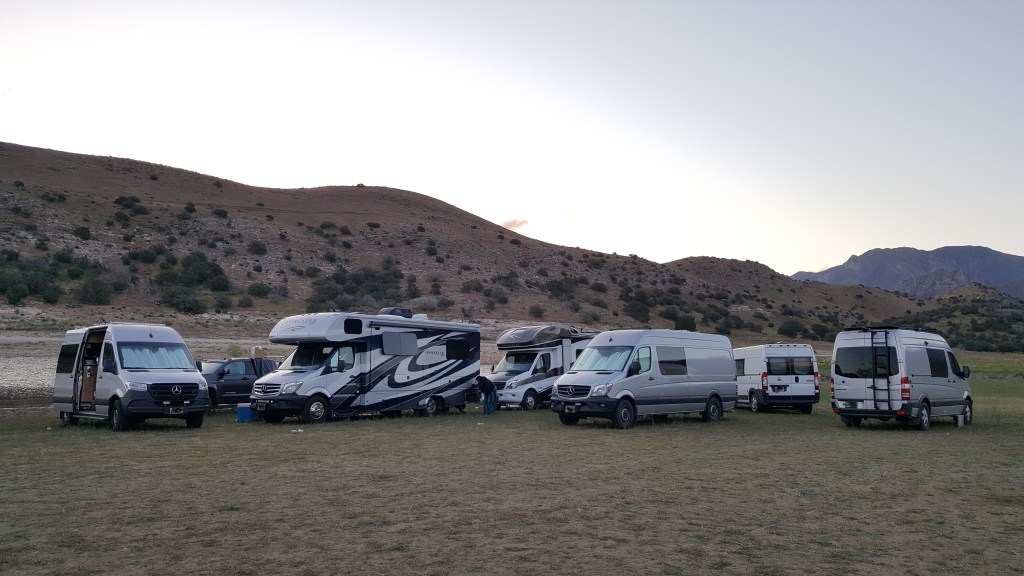
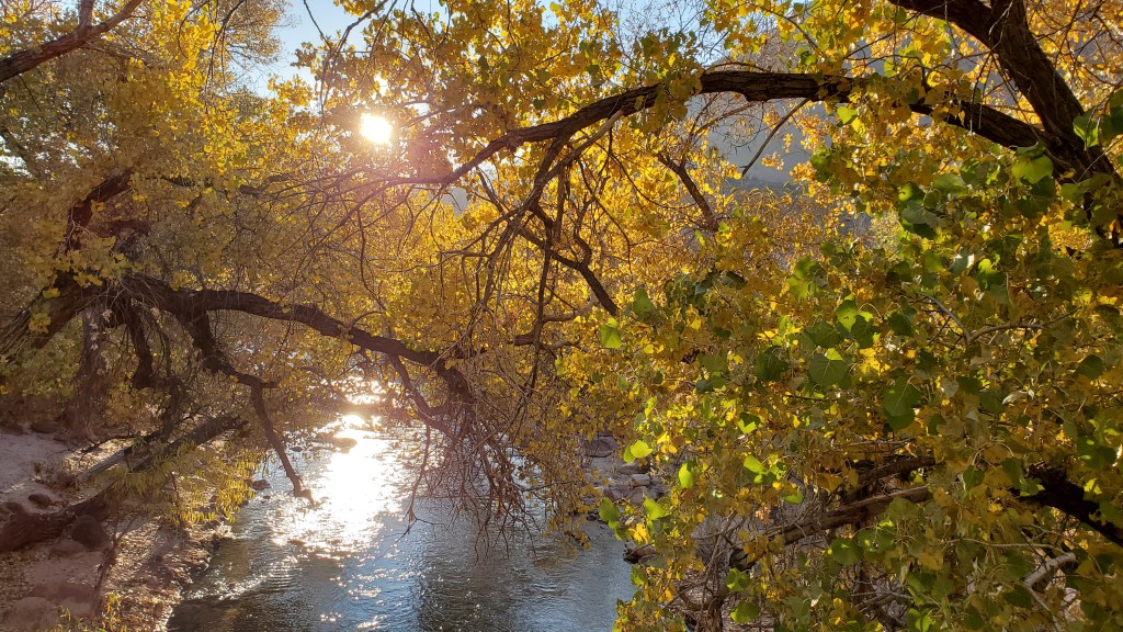
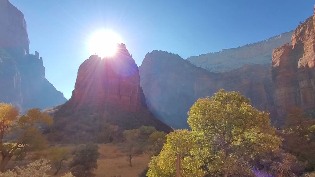
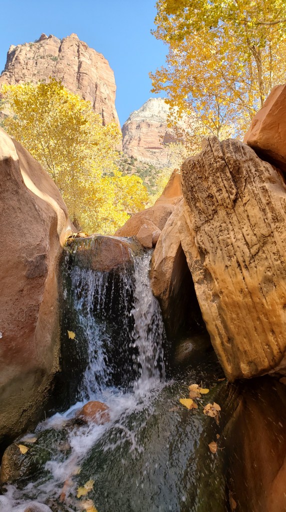
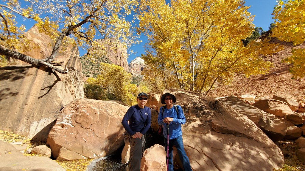
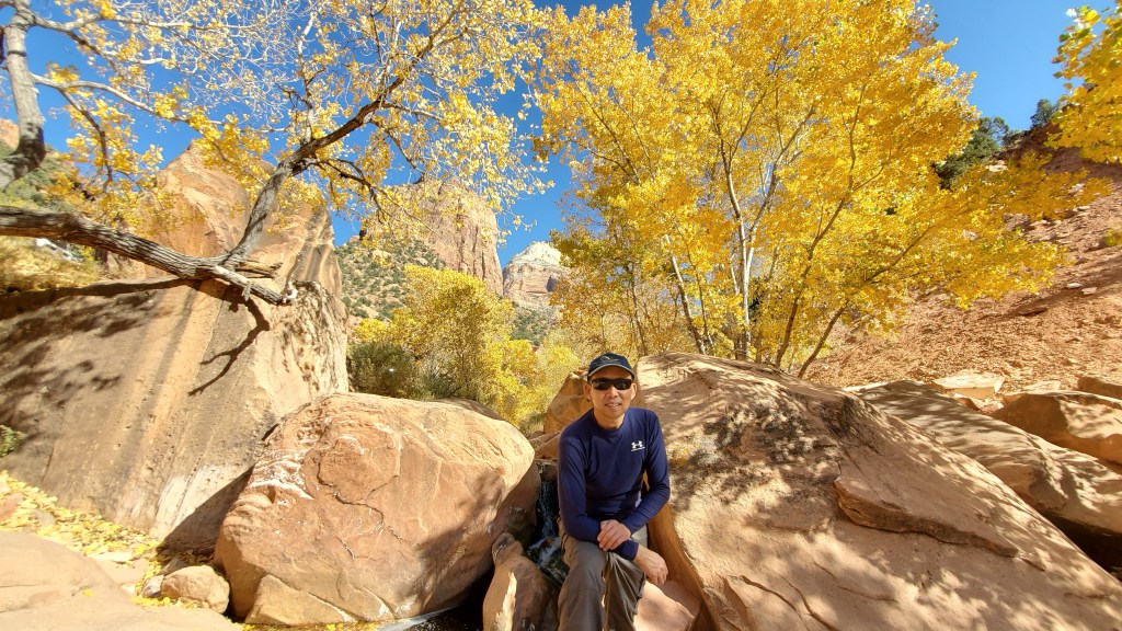
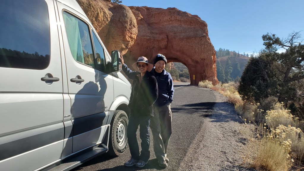
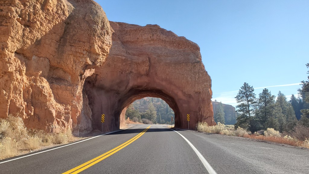
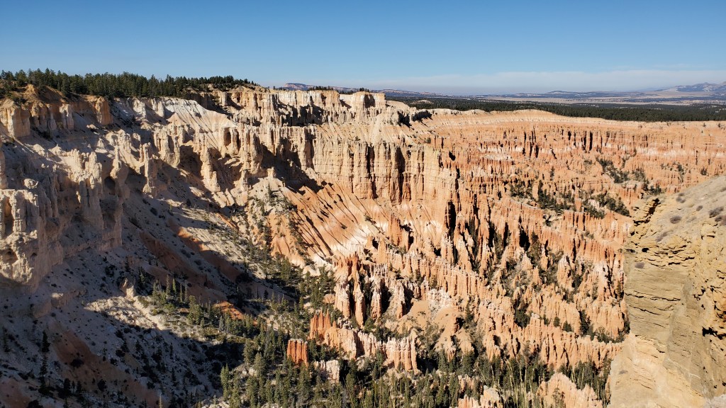
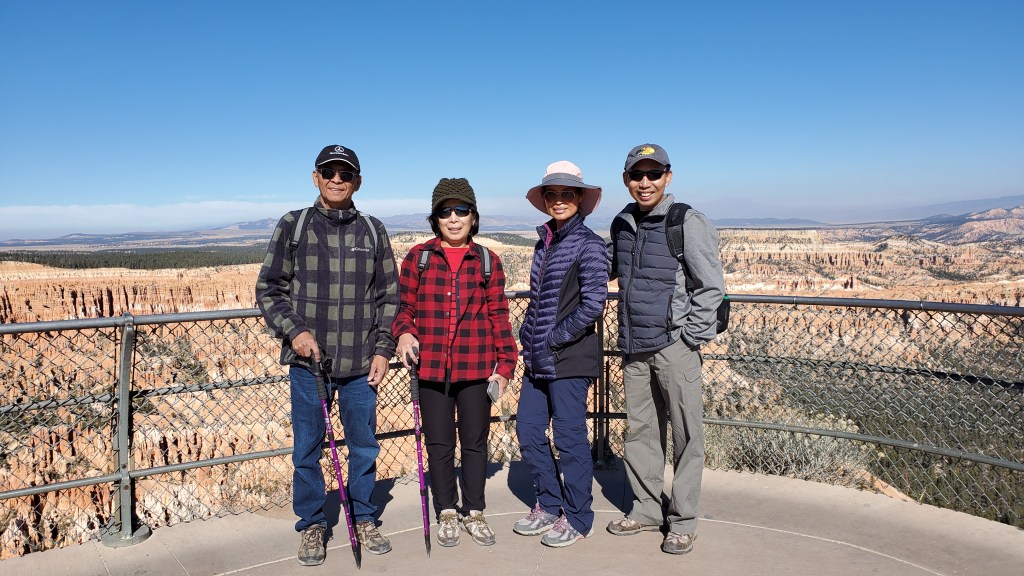
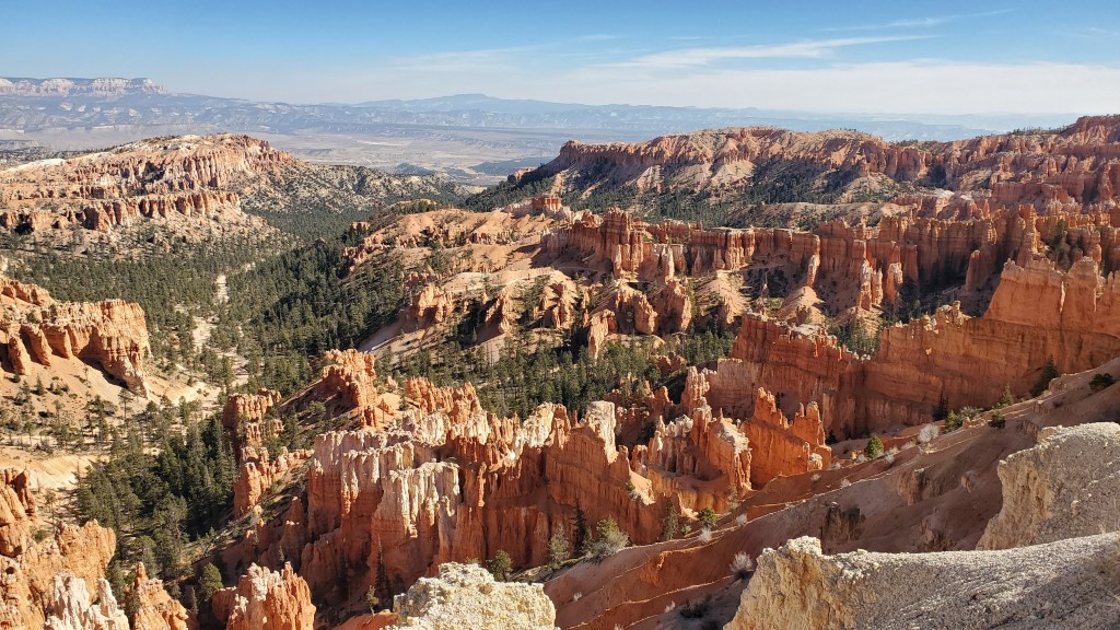
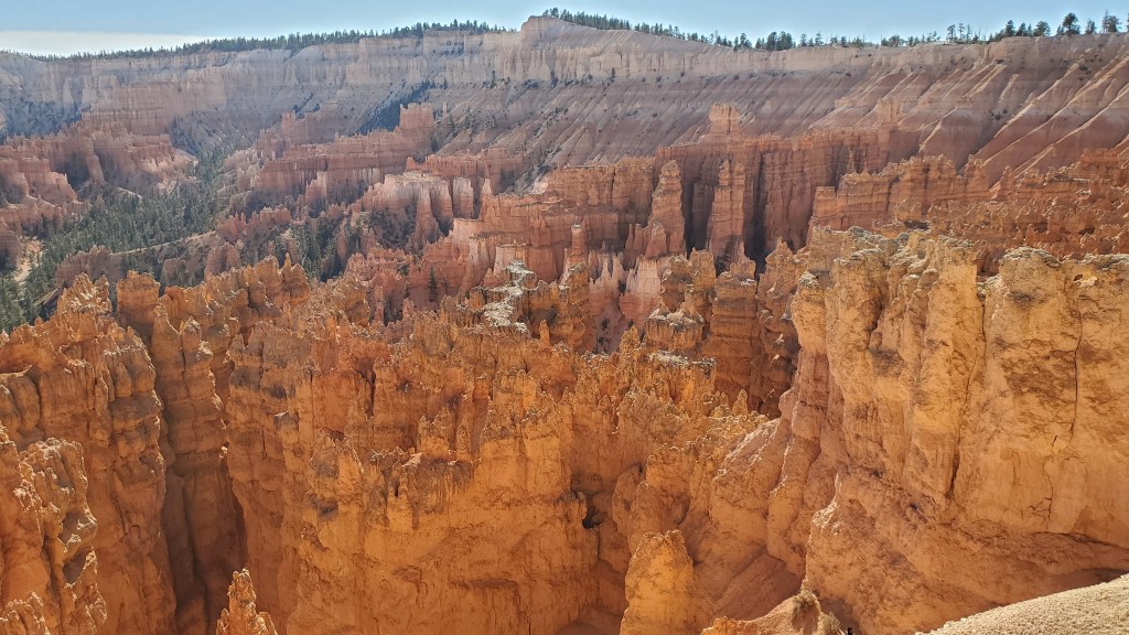
Zion National Park
Map to Free camping area
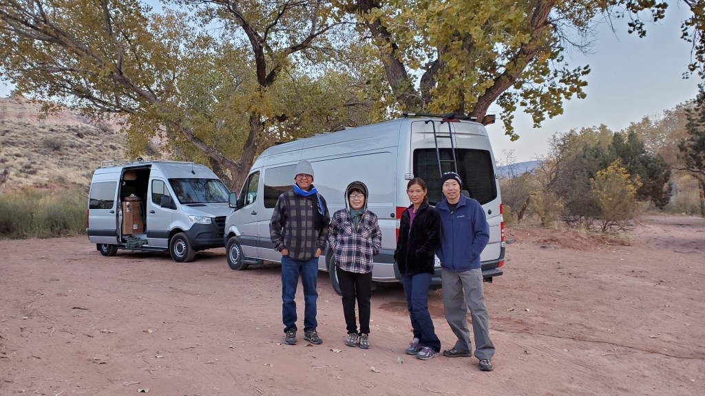
Ahh..love this place. This is my favorite season to go visit Zion National Park because it’s less crowded, more beautiful scenery. I feel so peaceful and relaxing listening to the falling leaves by the running Creek while enjoying our snacks. There’s a free camping area about 9 miles out side of the park with running Creek that’s where we stay. It’s about 1 mile off RS 9 on Kolob Terrace RD on your right you’ll see a lot of people camping there as well. No facilities here so please bag-in and bag-out.


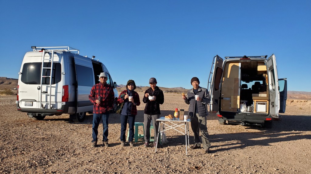
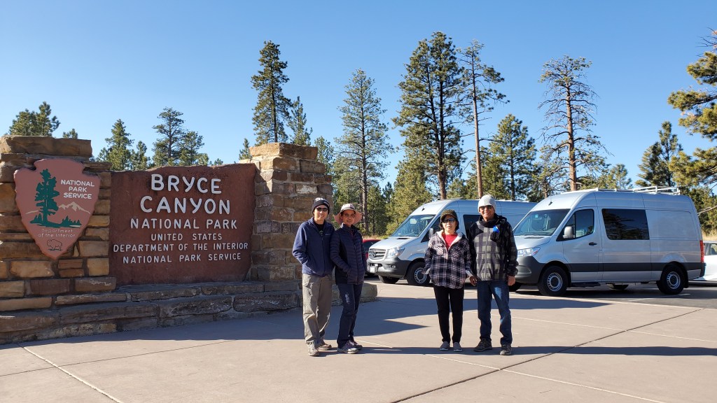
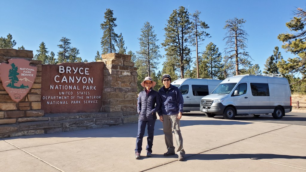
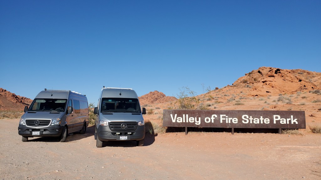
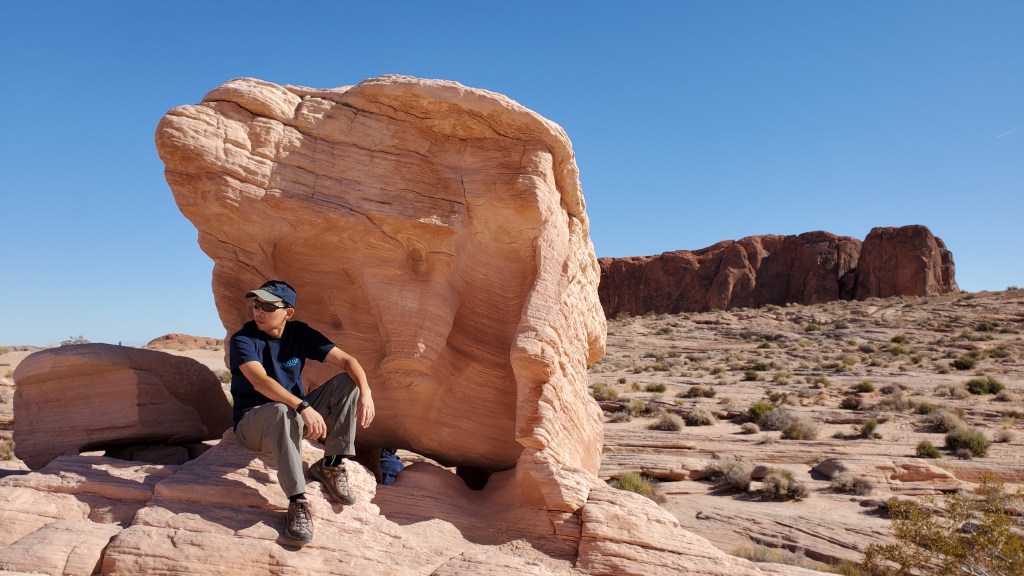
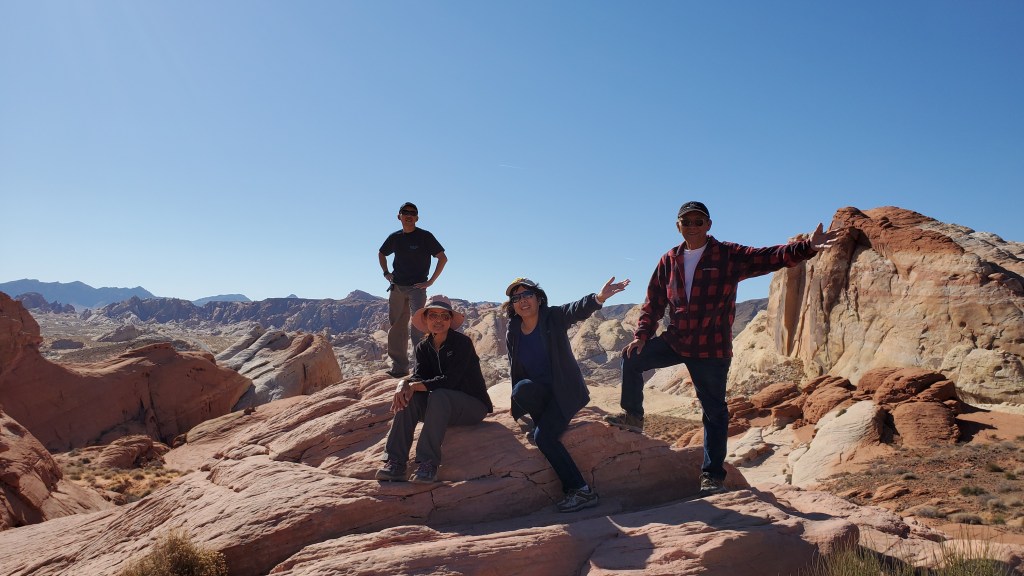
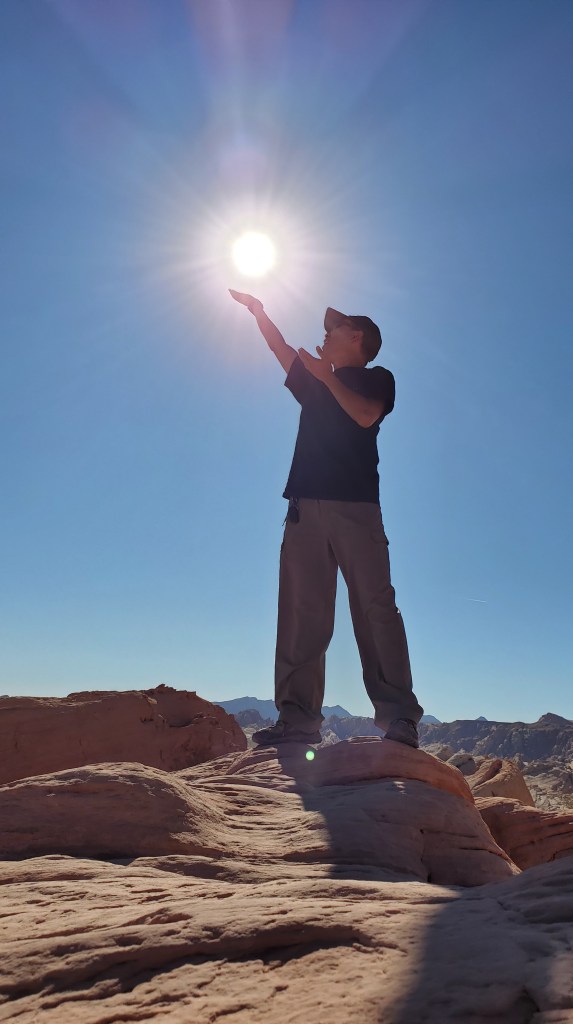
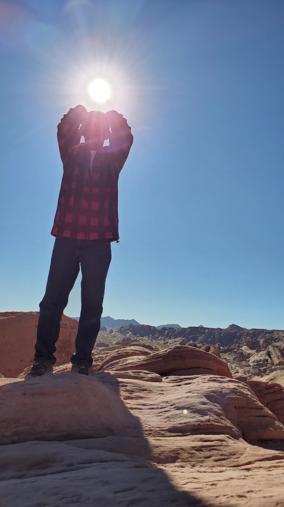
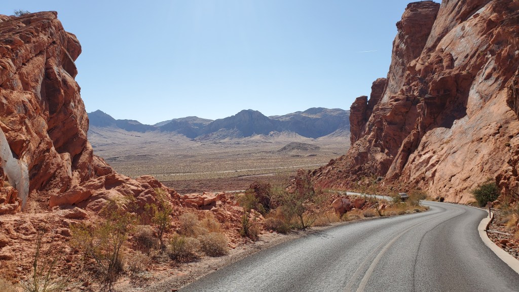
That same trip we went from Zion all the way to Bryce Canyon Nat’l Park and then drove all the way (4 hours) to north of Lake Mead and stayed at another free camping area on BLM land. This area is on SR 95 North two miles from Valley of Fire. It’s a nice large flat area on the hill with a view of the lake and nearby desert land scape. It’s easy for large RV’s access.


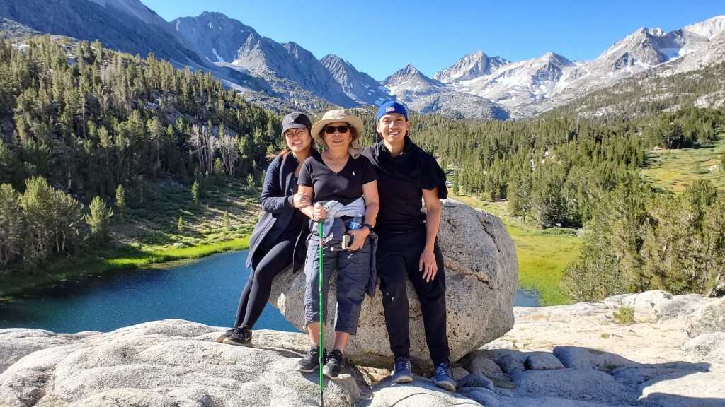
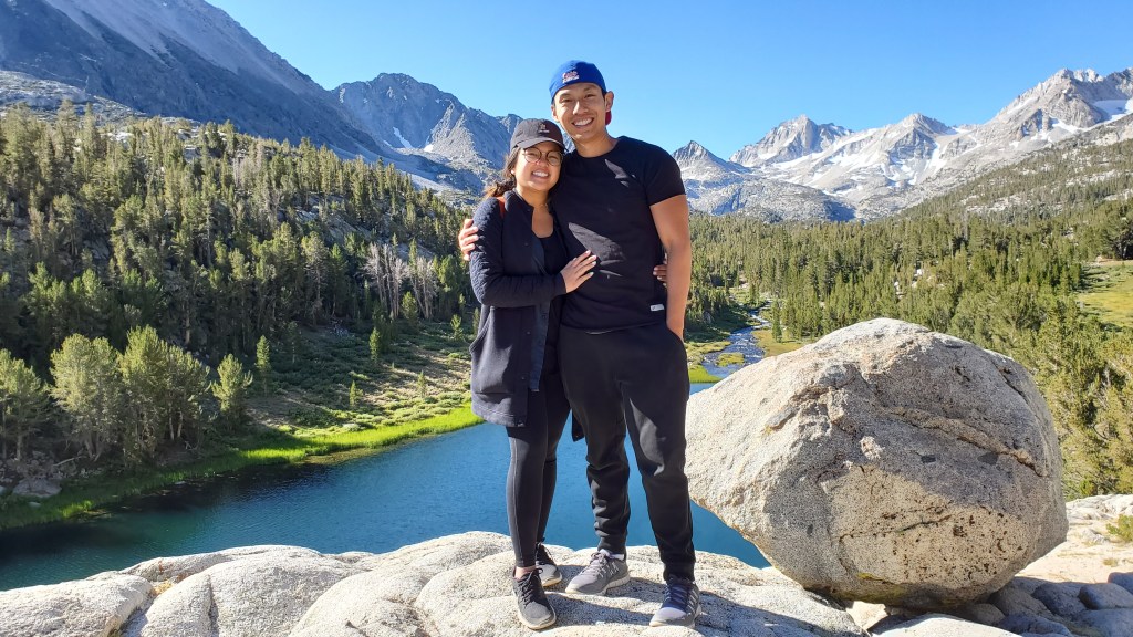
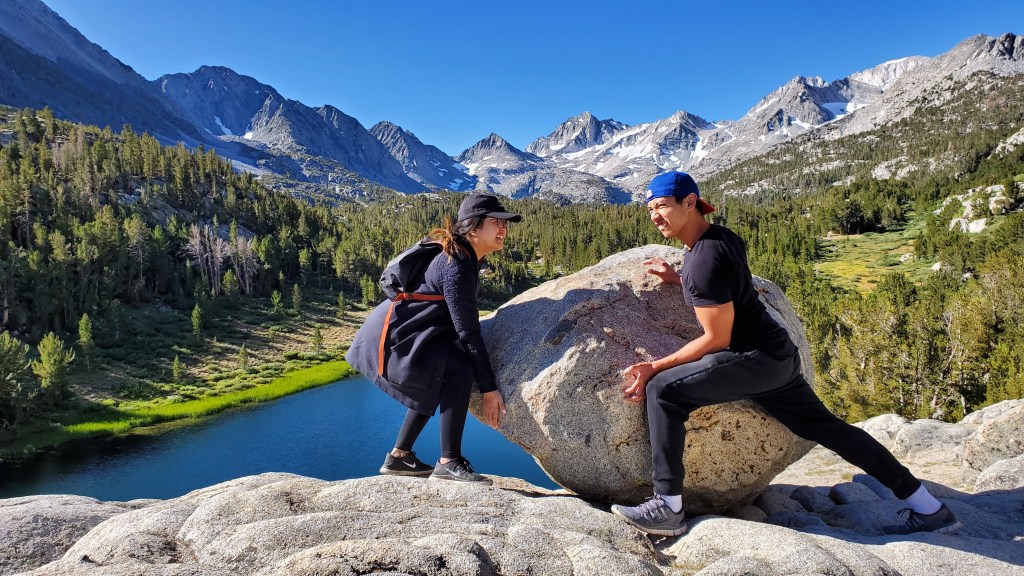
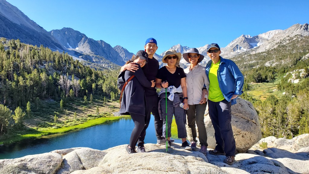
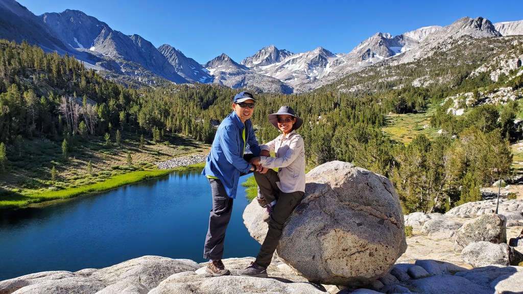
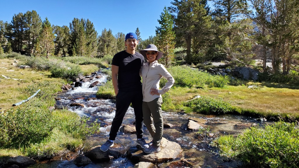
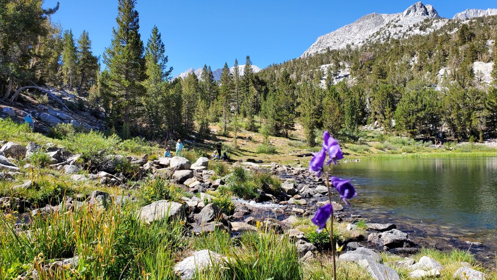
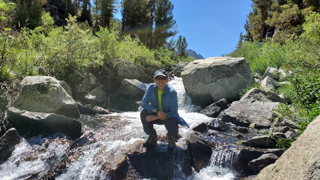
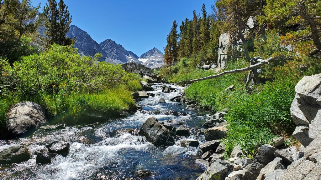
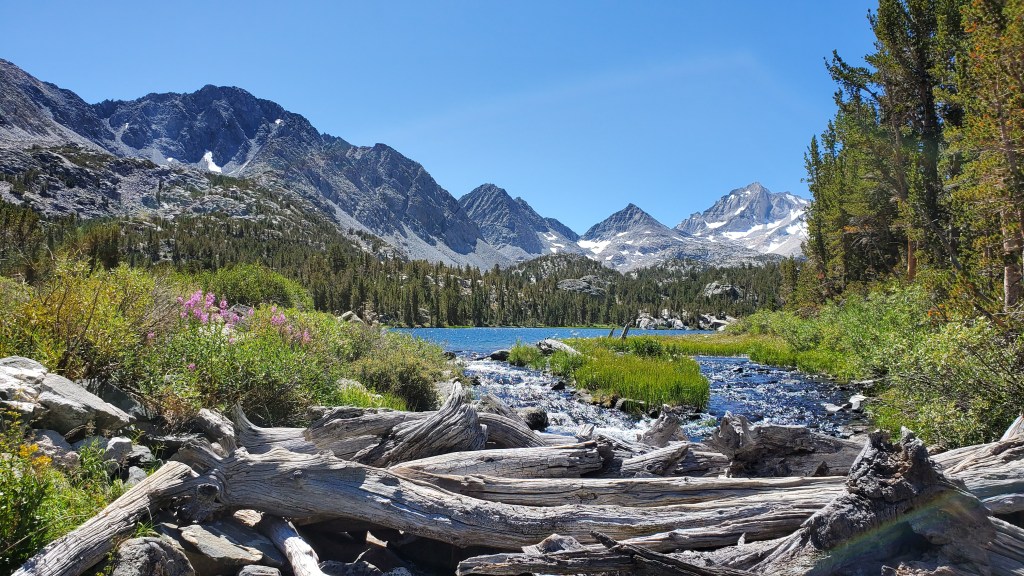
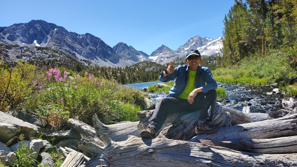
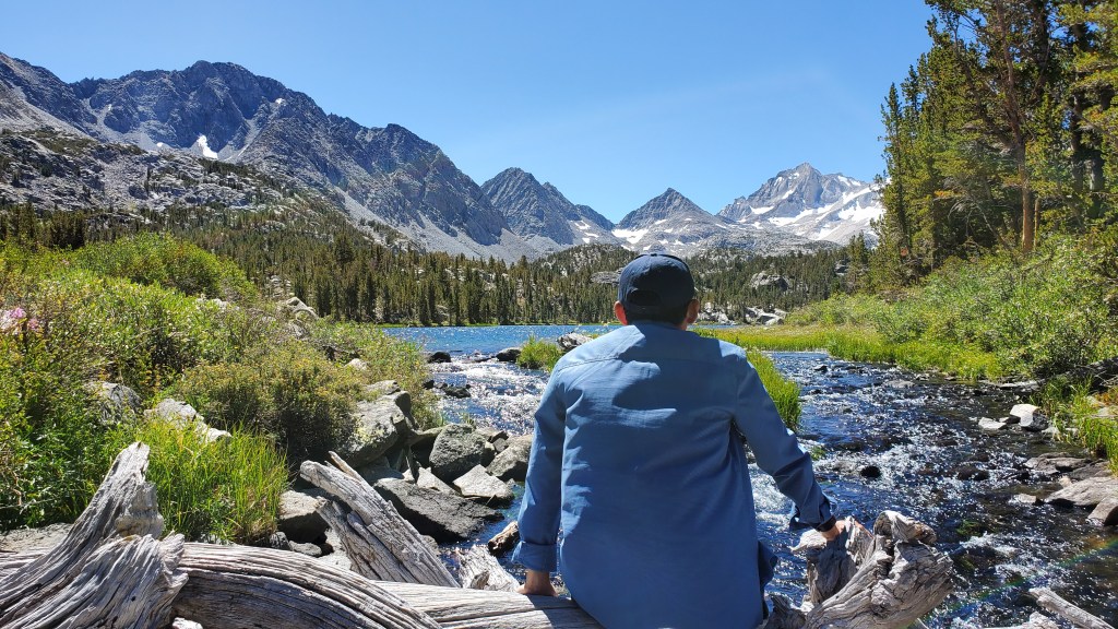
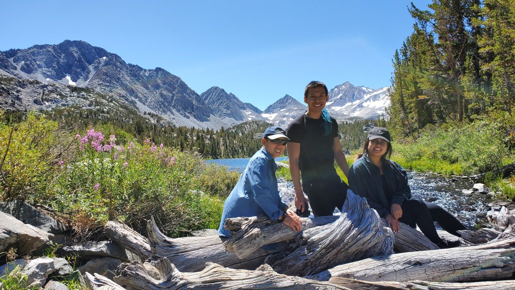
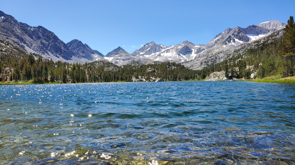
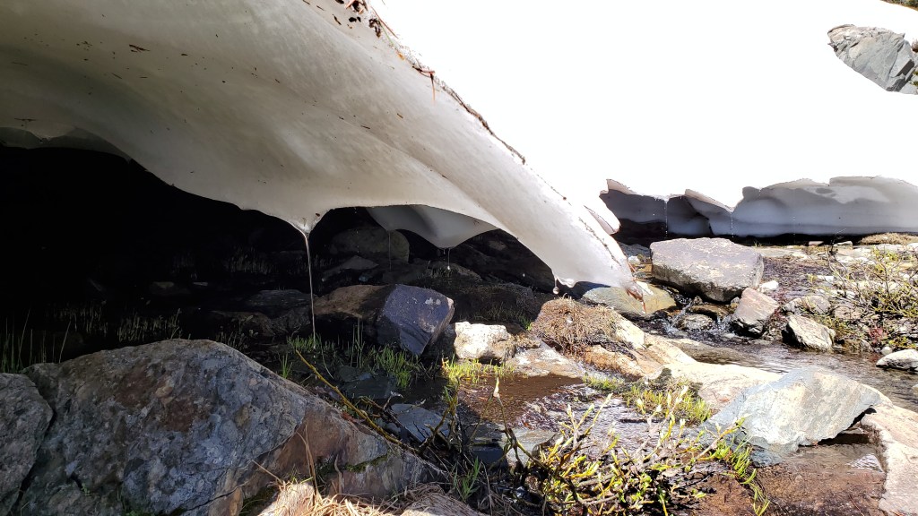
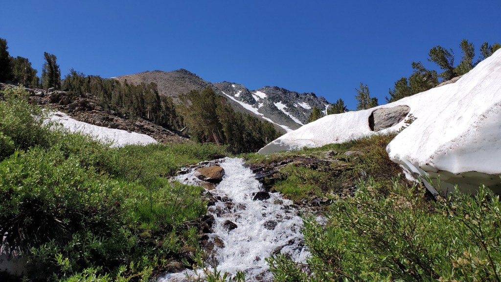
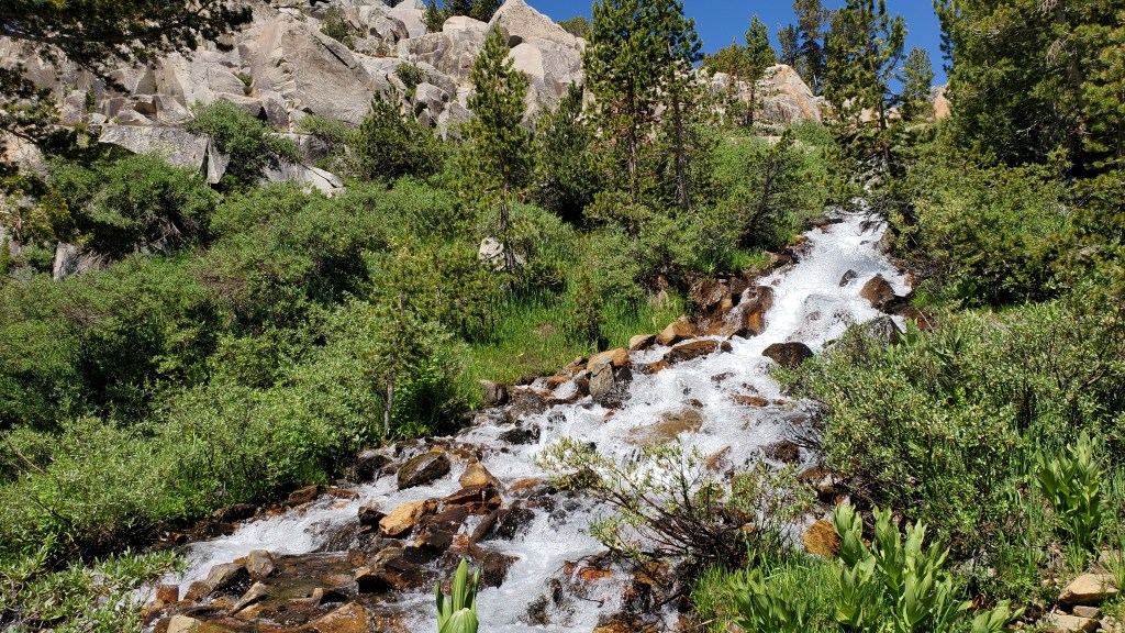
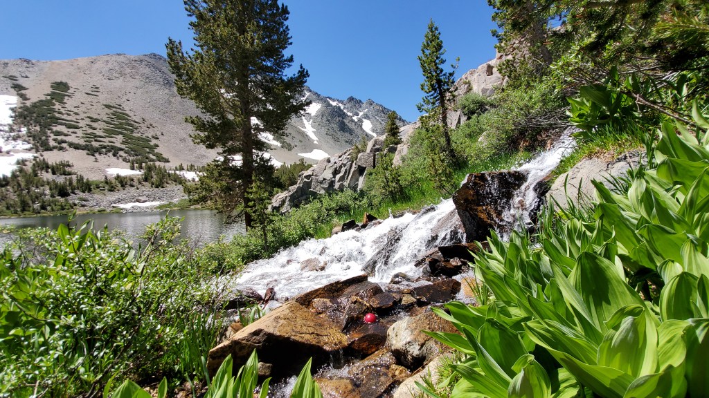
Hiking at Mosquito Flat(Chicken Feet Lake), Rock Creek Lake area, CA https://goo.gl/maps/riD6n41AUwMEiHRNA
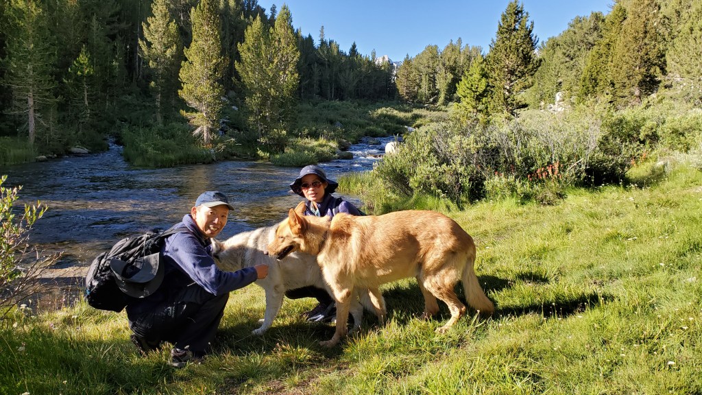
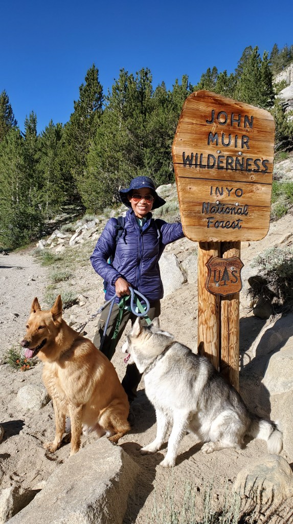

No matter how many times we hike this place it’s never dull. It’s always beautiful every time but I think best is to go late June and early July that’s when all the creeks are full from snow melt and wild flowers are in bloom. We went here twice in a year. Elevation is around 10,000 feet. Moderate hike. 6 miles round trip. it’s worth it.
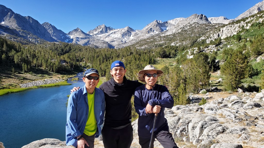

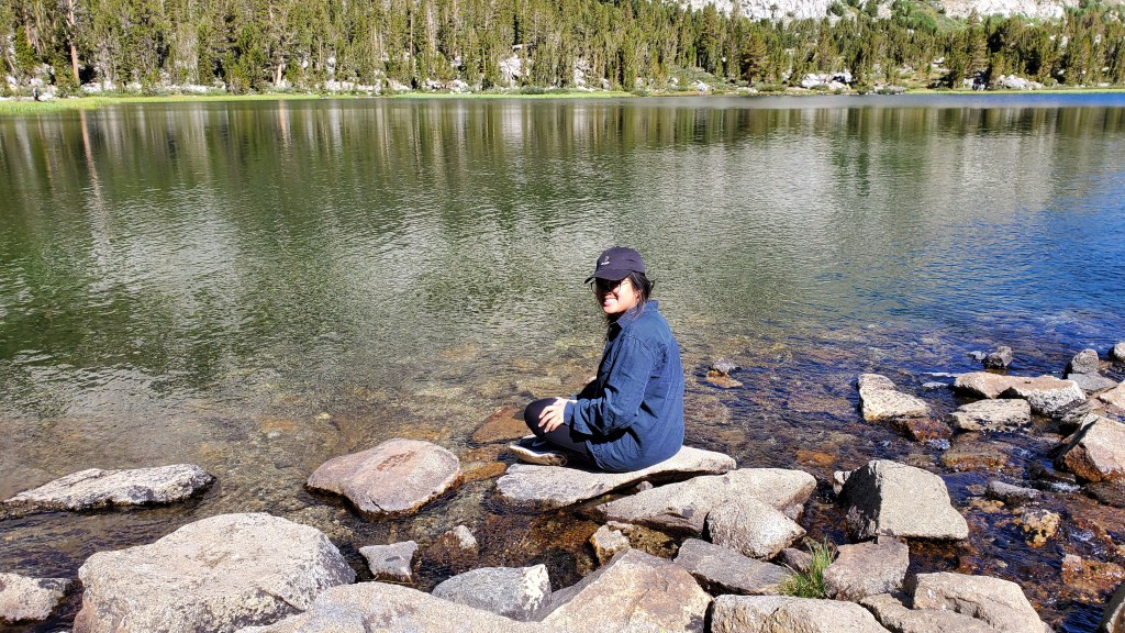
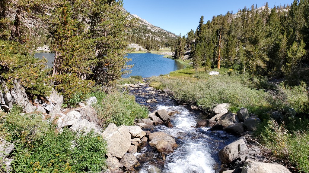

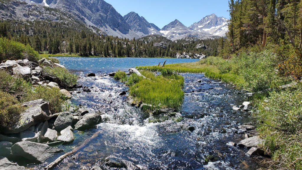
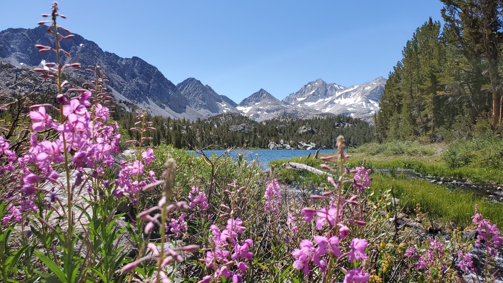

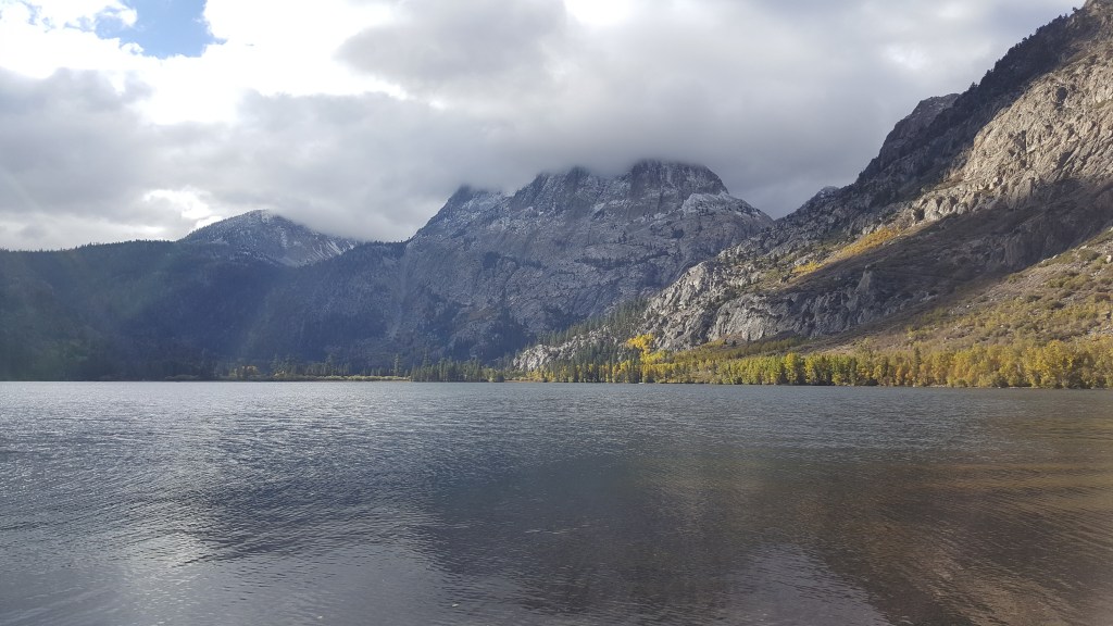
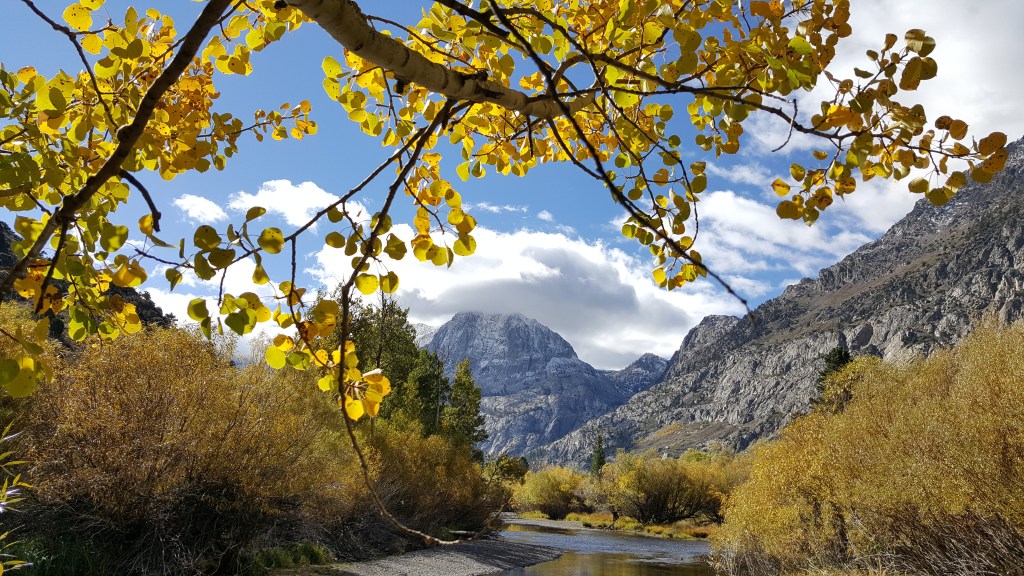
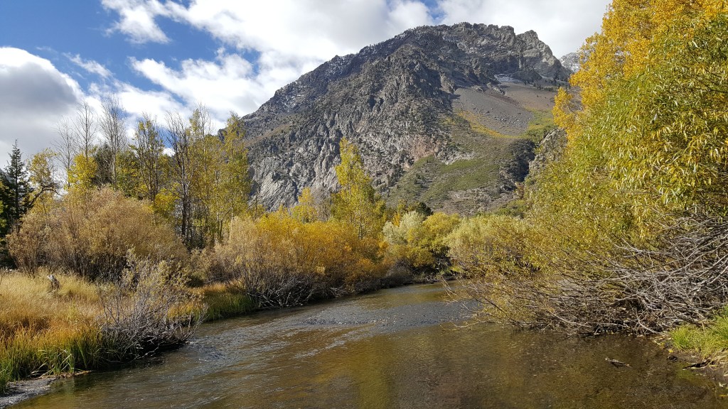
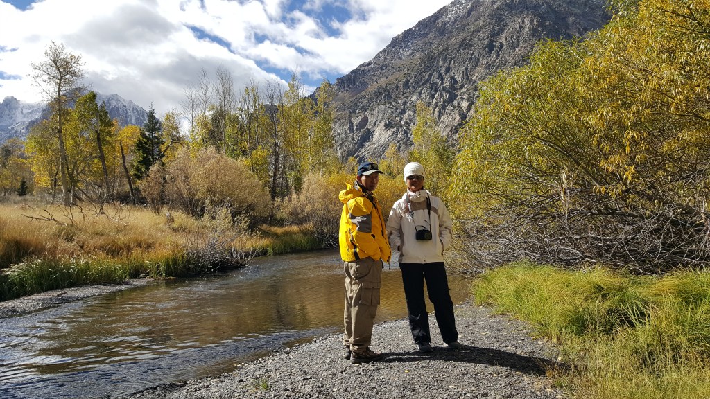
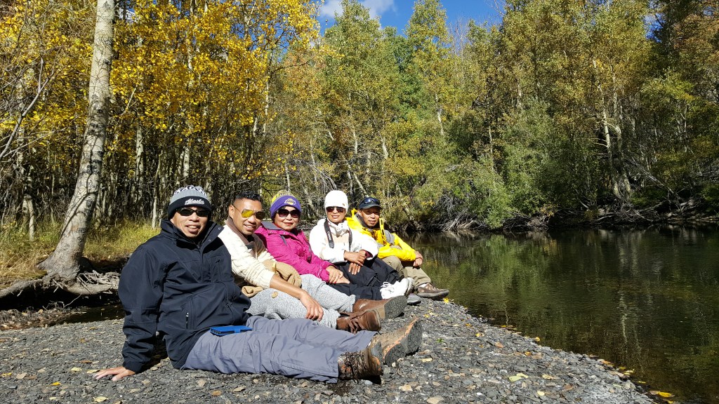
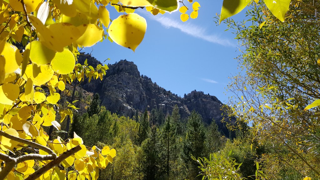
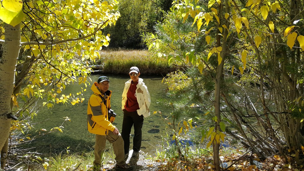
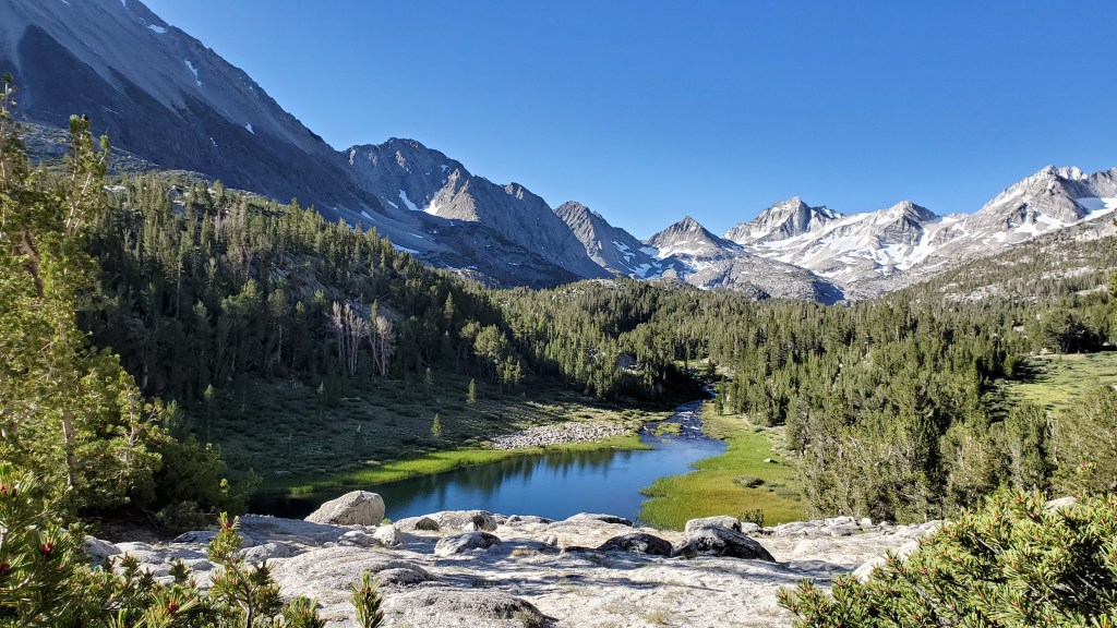
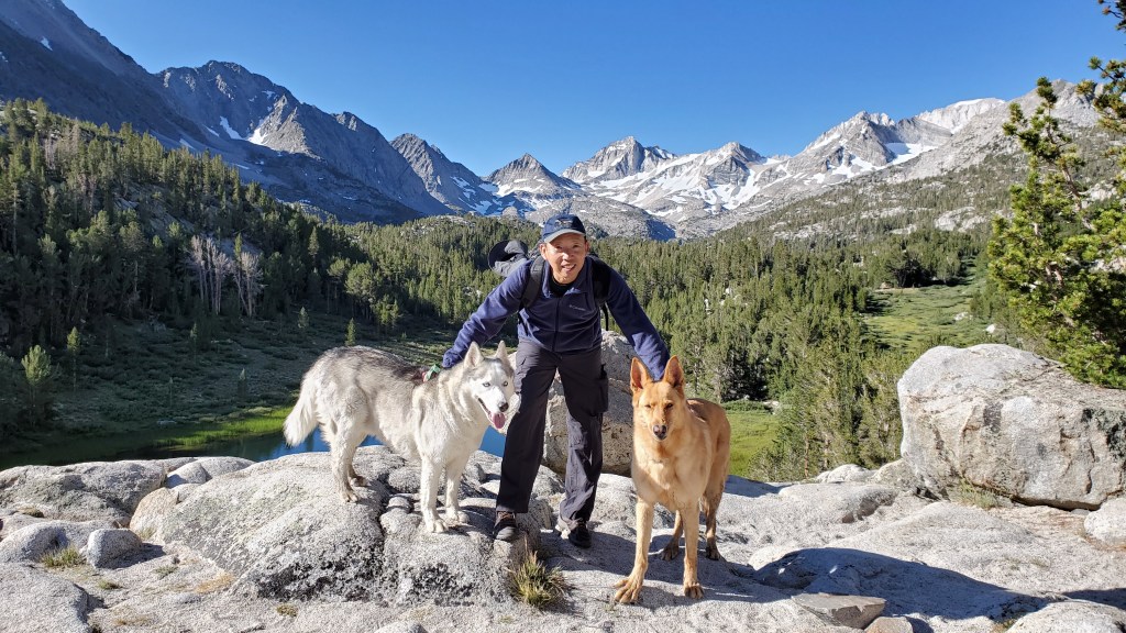
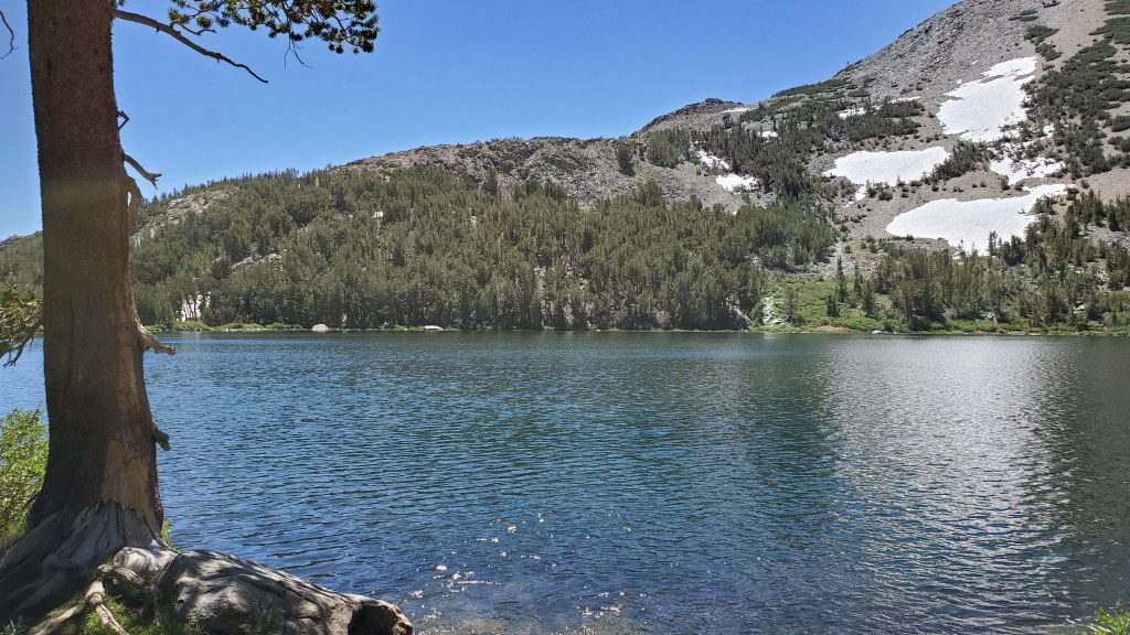
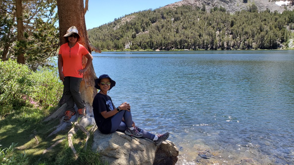
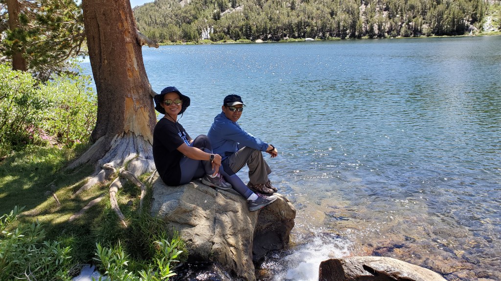
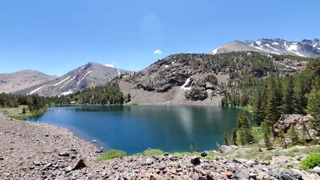
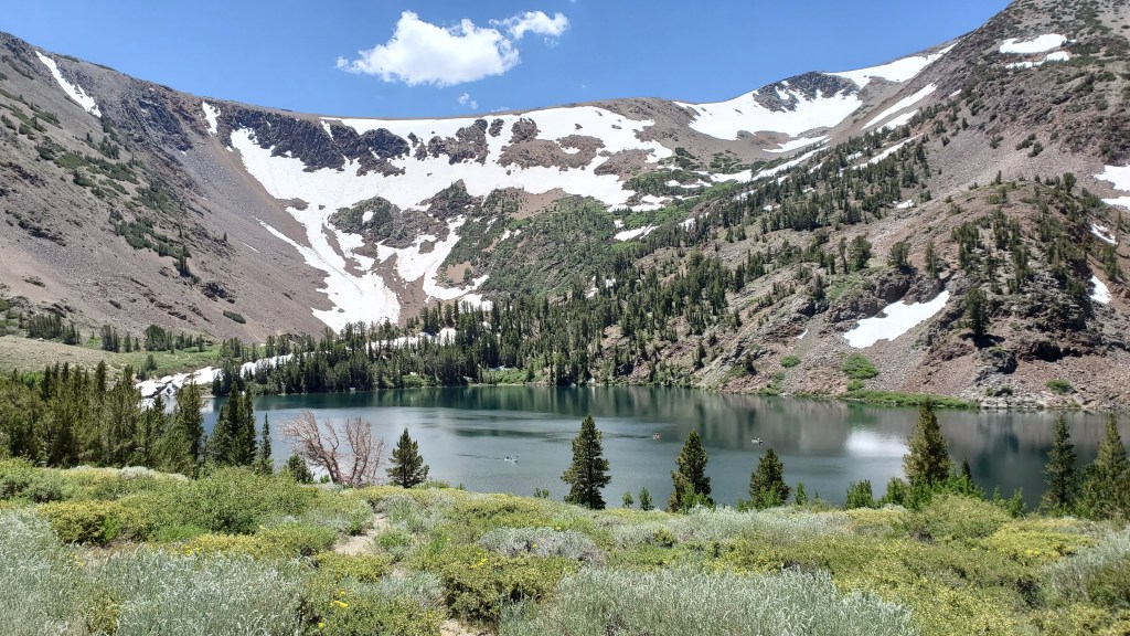
Mammoth Lakes, CA
https://goo.gl/maps/v7JKJZjYyxXFfqg9A


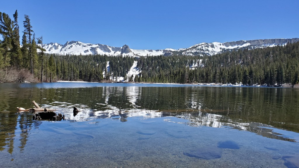
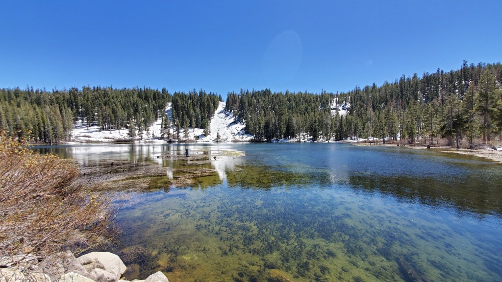
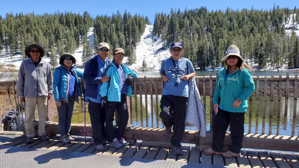
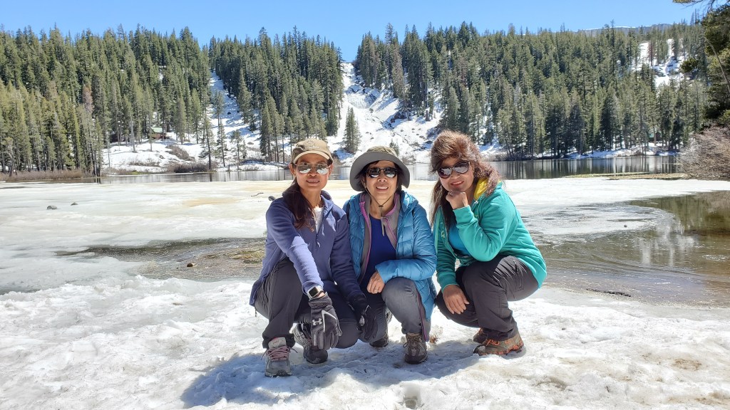
Trust me these are just a few pictures from Mammoth Lakes basin area. We’ve been coming here over 15 years. Rock Creek is 9 miles away. A weekend is not enough time to discover. The basin consists of 7 lakes that you can drive up to.
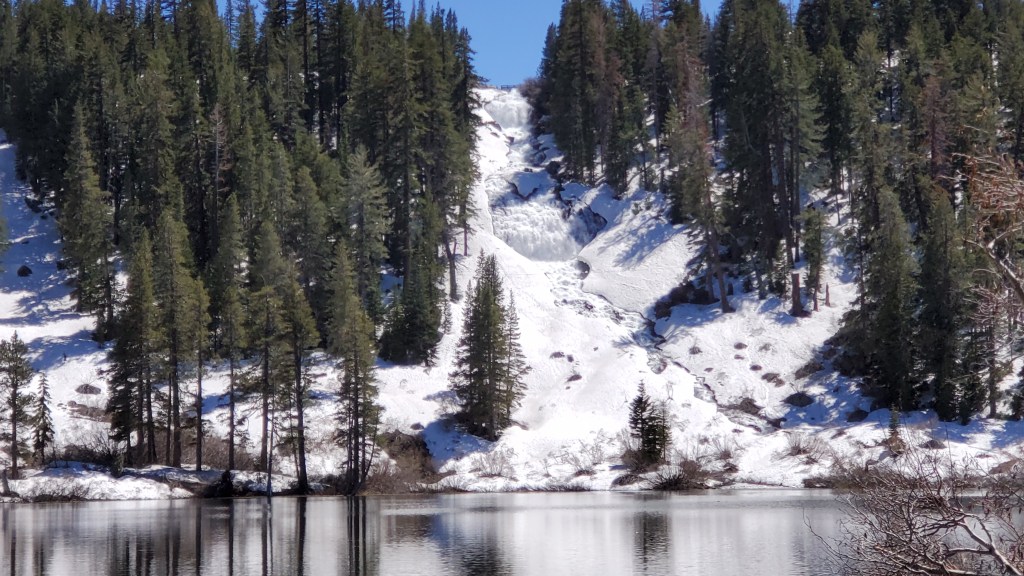
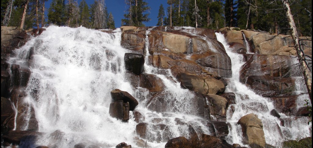
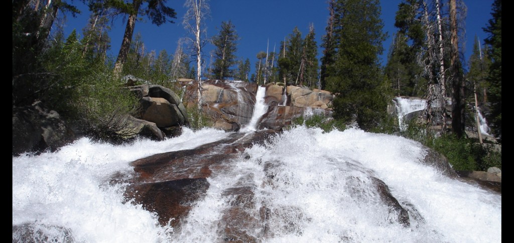
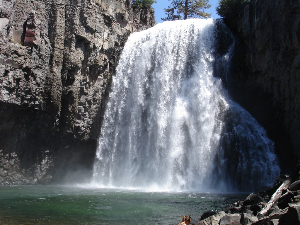
If you have a couple days to discover or a little hike I recommend these places in the Devil’s Postpile National Monument area. It’s within the Mammoth area as well. Here you can purchase a day use shuttle bus ticket at the ski area they take you down there and you can hope on, hop off any time. Or you can drive there on your own but you have to camp there. Many hiking trails here including these water falls. Oh I almost forgot they only open from around July to mid September due to snow fall. Check it first.


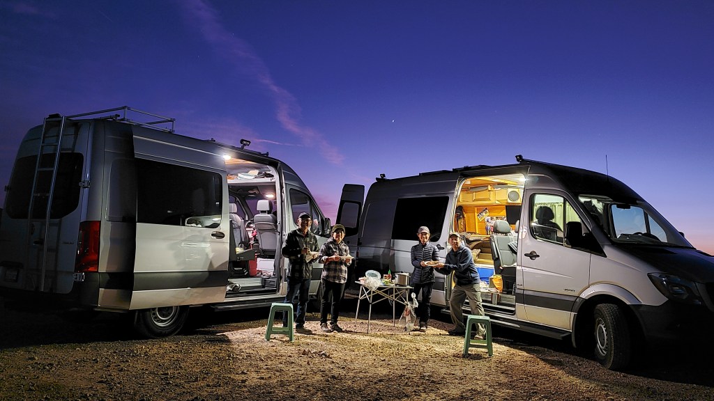
Sometimes when we’re out there mother nature is unpredictable especially in the high elevation. We have to come prepared. We always like to share our hot cook meal but if the weather does not corporate we have a back up food. Picture below is our memory from that time when Grant Lake was too windy to cook. We came back from a hike the wind was blowing things away. It’s microwave food time. We manage to warm up some food and huddle together in my van and still had a great time.

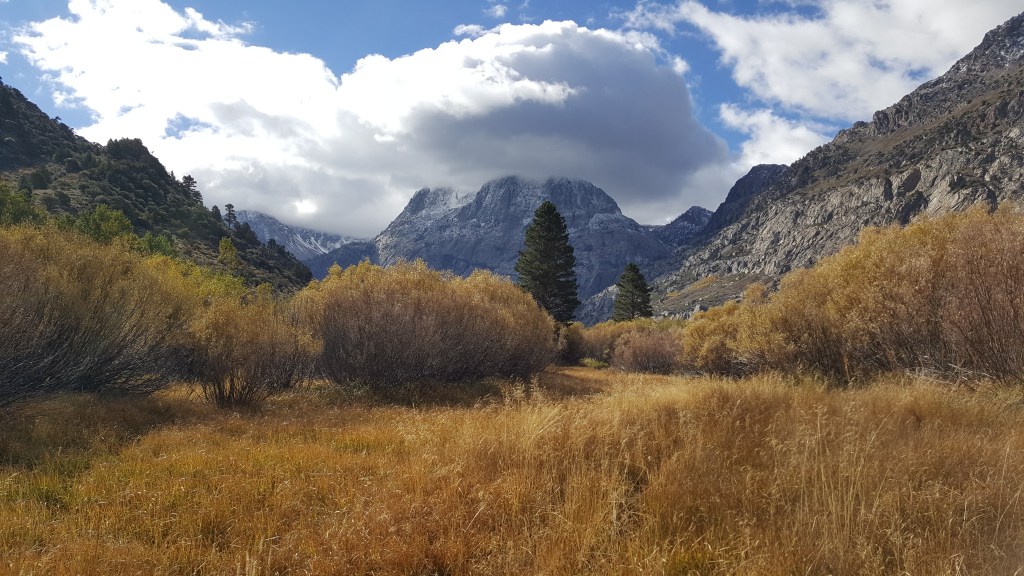
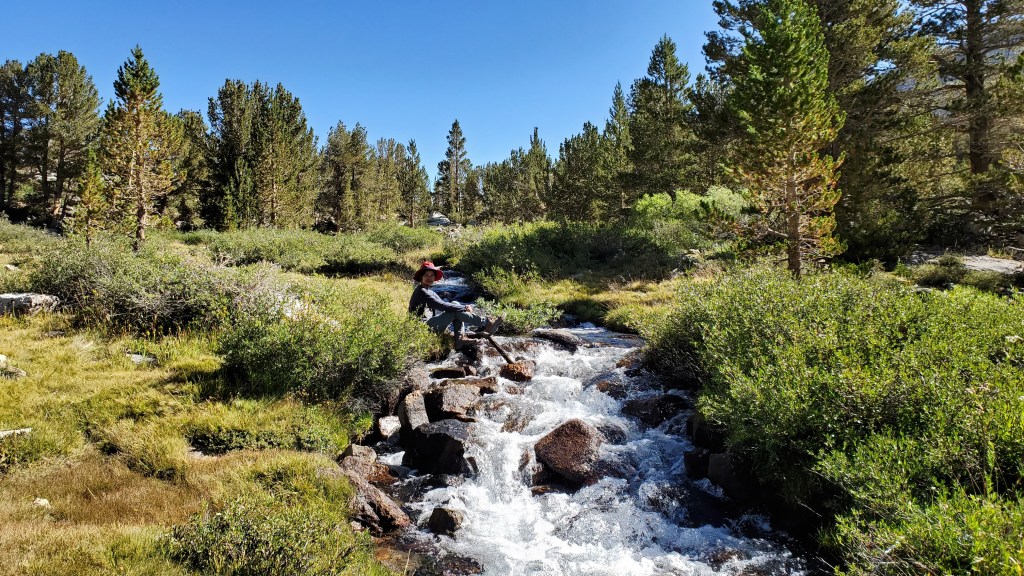
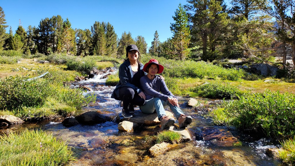
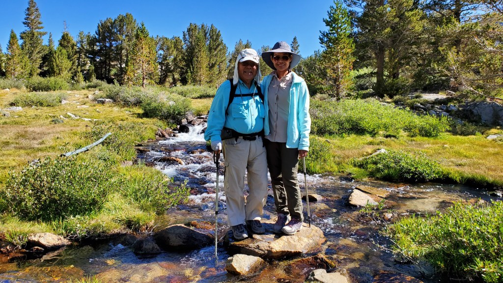
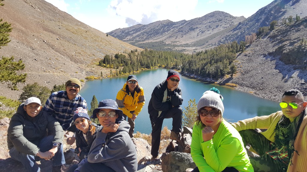
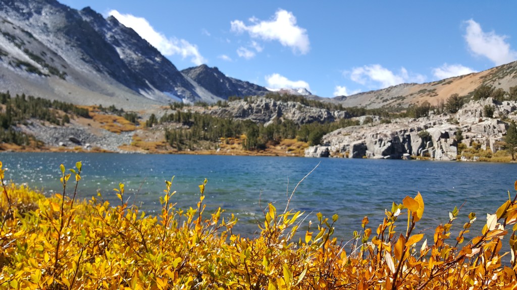
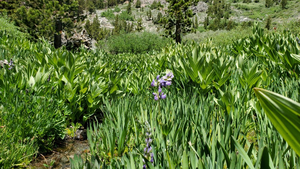
Fall is one of my most favorite seasons to go visit. The weather is cool, the air is crisp. Hiking is best at this time. Here are some hiking pictures to one of the most spectacular scenic trails in the Virginia Lakes area. The Virginia Lake trail. At the trailhead the elevation is around 10760 feet. The trailhead starts at the parking lot of Big Virginia Lake and within the half mile in the hike you’re already reach the first lake (Blue Lake). After passing a couple of running creeks you’re at the magnificent Coonie Lake. Moderate hike just take your time because of the high elevation but it’s worth it. Here’s the link to the trailhead.
https://goo.gl/maps/fD4PyV7qjSrmtdkN9


Try it in the Summer too.
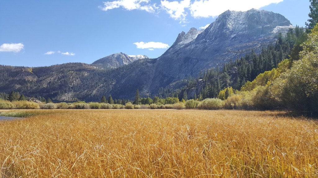
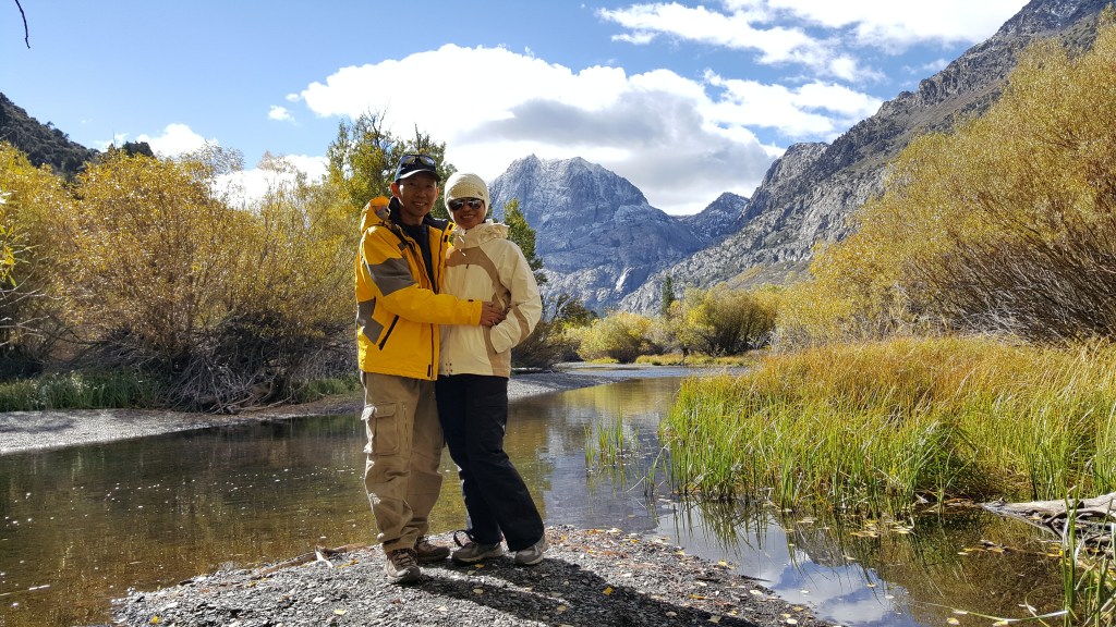
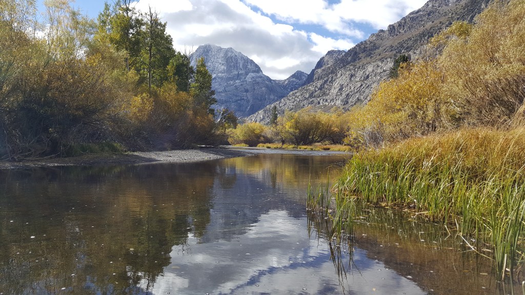
Oh yes! June Loop. The most visited and most photographed mainly in the Falls. I’m never tired of driving through here and spend time along the loop. It’s 12 mile stretch consist of 4 lakes (June, Gull, Silvia and Grant). See these pictures and you know what I’m talking about. You have to visit June Lake Loop if you’re in the Eastern Sierra.